Laser scanning of buildings: technology, equipment and where it is used in construction
Laser scanning of buildings is a non-contact method of capturing the geometry of an object, in which the scanner sends a laser beam and, based on its return time, calculates the exact position of each point on the surface. In one pass, the device records tens of millions of points - walls, floors, columns, utility networks - and stores them in the form of a three-dimensional “point cloud”. From this cloud, engineers receive measurement drawings, an actual building model, and an interactive tour. The technology grew out of geodesy and in recent years has become a working tool for designers, technical supervision and restorers. Let's look at how filming works, what is used to film it, and what tasks it covers at a construction site.
How does laser scanning of an object work?
It is based on a laser rangefinder that rotates around two axes and “shoots” the space around it. The principle is simple, but the result is precise:
- Impulse and return. The scanner emits a laser beam and measures the time until it returns from the surface. Knowing the speed of light, the device calculates the distance to the point with an error of a few millimeters.
- Cloud of points. In one installation, the scanner takes from 1 to 40 million points, each with X, Y, Z coordinates and often with color from the built-in camera. This is a “point cloud” - a digital cast of a real volume.
- Registration of scans. To cover an entire building, the device is moved every 5–10 meters. Individual clouds are stitched into a single model using common points or markers - this stage is called registration.
- Processing. The finished cloud is cleared of noise, linked to coordinates, plans, sections and facades are drawn from it, or a polygonal 3D model and BIM as-built are built.
At the output, the customer receives not a “beautiful picture”, but measurable data: at any point you can take the distance, height, area and compare the fact with the project.
What equipment is used to remove buildings?
Different classes of devices are used for different tasks - from high-precision geodetic scanners to compact systems that at the same time assemble a virtual tour:
- Terrestrial laser scanners (Leica RTC360, Faro Focus, Trimble X7). Accuracy 1–3 mm, range up to 130 meters. They are used where geodetic accuracy is needed: measurements, deformation monitoring, as-built surveying.
- Compact scanners (Leica BLK360). Lightweight, fast, convenient for interiors and small objects. The accuracy is slightly lower than industrial, but sufficient for design measurements and as-built.
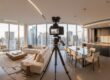
- Matterport Pro3 systems. They combine a laser scanner and a panoramic camera: the output is both a point cloud and a ready-made 3D tour with a walkthrough and measurements in the browser. They are optimal when the customer needs not only a drawing, but also a visual model for sales and presentations.
- Mobile and drone systems. A scanner mounted on an operator's helmet (SLAM) or on a drone captures large areas and facades on the move. Higher speed, lower accuracy - suitable for filming construction progress and external measurements.
The choice of device is determined by the task: for a dispute with a contractor about millimeters, a ground-based scanner is needed; for sales and remote control, a system with a ready-made tour is needed.
Where is laser scanning used in construction?
The technology covers the entire life cycle of an object - from measurements before the project to operation of the finished building:
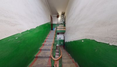
- Measurement work before reconstruction. Instead of a tape measure and a week of manual measurements - one day of scanning and accurate plans of the existing building, including curved walls and level differences.
- As-built documentation. The scan records how the object is actually built and is superimposed on the design BIM model - all deviations are visible immediately, without opening the structures.
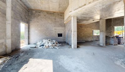
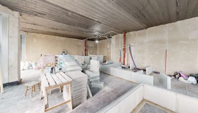
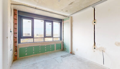
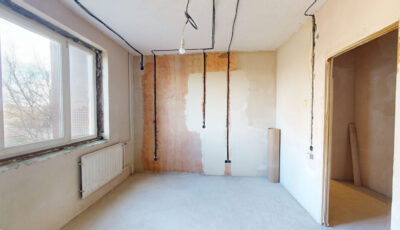
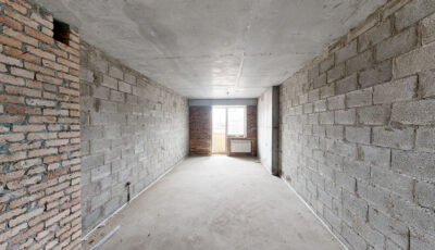
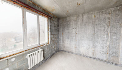
- Recording hidden work. Scanning before covering the walls saves an archive of all communications, reinforcement and components. Years later, when renovating, you don’t have to break down the wall to find a riser or cable.
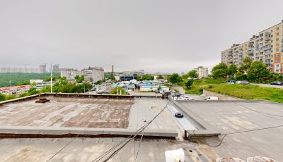
- Construction control by stages. Regular scans show actual progress and discrepancies with the schedule - technical supervision and the customer see one picture without on-site visits. More details in the material about construction monitoring with 3D tours.
- Restoration and preservation of monuments. The scan creates an exact digital copy of a historical object - for restoration, certification and restoration after damage.
- Reception and claims work. Measurements directly in the model record deviations from the project with a date. The “how it was delivered” dispute is closed with a screenshot, not words.
Based on the same scan, it is collected digital twin of the object — a model in which you can move, measure and show the building to the customer from anywhere in the world.
How does the shooting work and how long does it take?
The process is standardized, and the timing depends on the area and accuracy requirements:
- Departure of an operator with a scanner. The device is moved around the object every 5–10 meters. Apartment 80 m² - about 1.5–2 hours, business center floor 1500 m² - one working day.
- Cloud registration and processing. Individual scans are stitched into a single model, cleared of noise and linked to coordinates.
- Output of the result. Point cloud in .e57 or .las format, measurement drawings, BIM as-built in IFC or a ready-made 3D tour - depending on the task. Delivery time is 24–72 hours after shooting.
We deliver the finished model in the form you need: a point cloud for designers, a virtual tour on 360° Space servers with technical support, deployment on the customer’s server if external hosting is prohibited by security, or offline assembly for presentations without the Internet.
How much does laser scanning of a building cost?
The price depends on the area, the complexity of the geometry and the required accuracy. Market guidelines:
- Apartment, room 40–100 m² — from 10,000 to 20,000 rubles for a cloud of points with measurement plans.
- Cottage, office 200–500 m² — from 30,000 to 70,000 ₽ with stitching and processing.
- Residential complex floor, business center, warehouse 1,000–3,000 m² — from 90,000 to 220,000 rubles for shooting and preparing the model.
- As-built survey and BIM as-built — calculated separately from the complexity of the design model.
Additionally, travel to another region, increased accuracy class and VR assembly are paid for. Exact calculation for your object - at cost calculator in 2 minutes.
Frequently asked questions
How is laser scanning better than manual measurements?
Speed and accuracy. Manual floor measurements take several days and accumulate errors, especially on curved walls and complex nodes. The scanner removes the same volume in hours with an accuracy of millimeters and records everything at once, and not just what the person with the tape measure measured.
What is a point cloud and what to do with it?
A point cloud is a set of millions of coordinate points that form a 3D cast of an object. Based on it, plans and sections are drawn, a BIM model is built “as it was built,” a virtual tour is created, or the fact is compared with the project. This is the initial data from which any desired result is obtained.
Is it possible to scan an object during the rough construction stage?
Yes, and this is one of the key scenarios. Filming before the walls are covered will record all communications, reinforcement and components. The archive is then used during operation, repair and to resolve disputes with contractors.
Will I receive a virtual tour along with a scan?
Depends on the equipment. Geodetic scanners produce point clouds and drawings. Matterport Pro3 systems capture both the cloud and the finished 3D tour with walk-through and measurements in the browser - if you need both results, this is the equipment we use.
Order a 3D tour for your property
Leave your contact — we'll respond within 30 minutes and calculate the cost